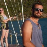
We were so tired after chilling out yesterday that today we had to spend the day relaxing. So there is not a lot to say today, other than we set off tomorrow to do a day – night sail. Heading to Middle Percy Island. Guido and Nivi’s first night sail. We may not have internet for the next few days. So we will catch up later.
Too busy chillin’
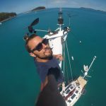
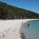
Apologies for not writing here yesterday. We were too busy… chillin’. Today we woke up with hardly any wind and a beautiful warm sun. After breakfast, time to work! Guido went up the mast to bring down and clean the tri-light while Andrew, Nivi and Sue held the safety lines. Mission accomplished! After lunch and of course a nap for Guido, we went exploring the nearby beach on the other side of the bay.
Basically, we had our own beach, amazing. We saw many turtles, rays, squids and other cute animals.
Back at the boat, Sue, Andrew and Nivi had some drinks and nibbles while Guido was “fishing”. No success today with this last part, as he gave up to join the the rest of the crew and well… no fish. The sunset was breathtaking, simply wonderful.
Nivi made some very tasty fried rice and after dinner, well, time to keep chillin’.
- DCIM101GOPROGOPR5423.JPG
Gold Smith Island
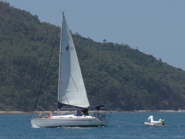
After a bit of work, getting the double anchors up, we left Thomas Island for a nice couple of hours, sailing to Goldsmith Island. We had a couple of boats racing us there, but we found a nice spot in the bay as we arrived.
Guido and Nivi went out in the dinghy for some fishing, but without much luck. They were however unlucky enough to have the motor pack up on them, so the paddles came out. After 15 minutes or so, another dinghy thankfully came to their rescue, and towed them back to the boat.
We enjoyed the rest of the sunset with wine and nibbles, back on board, together with Andrew and Sue.
Guido’s Day
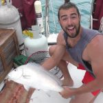
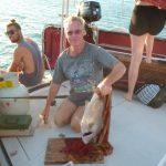
We got up this morning started making breakfast (toasted spicy fruit loaf Andrew had made yesterday). Guido tried to change his fishing luck and put a line over the side, then came inside for breakfast. Just as he sat down we heard the reel buzz. There was a fish on it. We all raced on deck to watch Guido reel in a 3kg Snapper.
When we had finished breakfast we set sail for Thomas Island. This time Nivi was up the mast guiding the way and Guido at the helm as we went into the bay. We found that it isn’t as protected from the swell as Shaw Island. Nivi made a yummy Danish dish for lunch using Guido’s fish.
After we had been ashore and had a swim Andrew thought it may help if we set a stern anchor to point us into the swell. It only helped a little.
Just before dinner it was pass the pigs time. The competition is on! Once again Andrew blitzed everyone in the first game. Guido took out the second game, what a come back.
Sue is in the galley making her cottage pie for dinner.
Side note: this is Guido. Sue’s pie is amazing!!!
Who is the better fisherman?
Around 7:30 we set sail, heading for White Haven beach. Unfortunately the east coast was getting hammered by 30knot winds and 2m swell. As we became more and more aware of the windy reality of the planned destinations route, we chose to turn around and try out our luck at the west side and the southern islands (Even tho Guido and Nivi were more than happy to try out sailing in rough weather – feels like a rollercoaster!)
The new spot for the night became an anchorage at Shaw Island. It was a bumpy ride getting there, with a bit of rain on the way, but it cleared up nicely as we arrived. Guido got up in the mast, checking for reefs, as Nivi was on the helm steering the boat to the anchorage.
As we got settled the big question occurred: who is the better fisherman? Nivi started out taking the lead with the first fish of the day, but Andrew took over the title when when he reeled in the biggest fish, a nice 2.5 kg white snapper, which also ended up on the dinner table (Y U M!) Guido caught the most fish, a beautiful, coloured reef fish and a mangrove jack.
Who the better fisherman is, is still unclear (first fish, biggest fish, most fish??), so we will try again tomorrow to clear up the question.
They didn’t stand a chance
We woke up early in the morning at Blue Pearl Bay and after a morning swim and a nice breakfast we moved to Luncheon Bay.
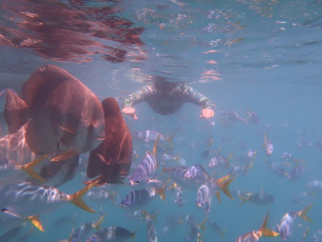
After some challenging sailing for Nivi and Guido, we arrived to Luncheon Bay just in time for some home made (maybe boat made) bread sandwiches. Beautiful snorkel with plenty and funny batfish. We missed the Mauri Wrasses tho, who made friends with someone else.
We got some more protection from the swell at Maureen’s Cove later in the afternoon, where Nivi and Guido had an endless nap.
Nivi is cooking tonight… it is said that she knows what she is doing, we shall see and report again tomorrow. Andrew and Guido played Pass the Pigs.
Side note: this is Guido. I hate pass the pigs!!!!
Whilst Nivi was in the galley cooking up a storm we had a game of boat dodgems trying to get to the calmer mooring we had been waiting for. The marine parks boat had been on it. Another yacht came into the bay and was also waiting. The parks boat finally left and it was on.
Everyone jumped up, Guido had us unhooked from the mooring in seconds.
Sue at the helm and it was all ahead full steam. The other boat had deployed a dinghy and was heading for the new mooring. That didn’t slow Sue down. Neither did the screams and shouts from the kids in the dinghy.
Although they were shouting something from the other boat, both Andrew and Guido said they couldn’t hear what they were saying. Well, they didn’t start moving their boat fast enough (they didnt stand a chance) and to be fair we had been waiting all afternoon for the mooring. We had also come across this same boat that had hogged the moorings at 2 other bays we had just been to, it must be karma!
It’s a Pearler
Straight after breakfast we headed back to Blue Pearl Bay. It seems all the rent a boats had the same idea. By the time we got there, there were 12 other boats in the bay. Thirteen boat onto 6 moorings doesn’t go. Our only option was to anchor in 19m of water.
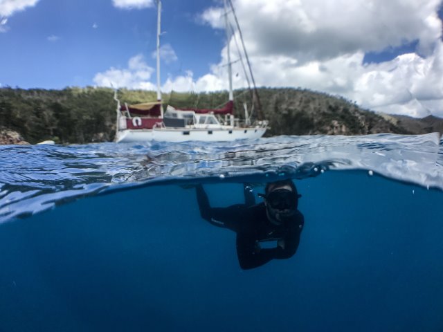
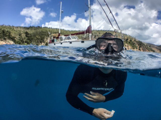
It wasnt long before we were in the water. Guido and Nivi snorkelled the reef while Andrew and Sue swam around the boat, then sunbathed on the back deck.
Ten of the boats in the bay must have known each other as after lunch they left in a group leaving only two boat plus us.
We quickly hauled anchor and moved onto a vacant mooring. That took a lot of energy, so it was back into the water for another cool off and swim. When back on deck Guido and Andrew repaired the bowroller that had lost its retaining pin.
This afternoon it was time to teach the new crew how to play Pass the Pigs.
After Andrew blitzing everyone in the two games it was time to be serenaded by Guido on the guitar. Onto drinks and nibbles, enjoying this beautiful bay, the peace and quiet and “our fish” that always come to swim with us here.
New Crew
This morning we met our new crew Guido and Nivi. After a quick tour of Airlie beach and a trip to the booze shop we headed back to the boat.
We only had time for a quick tour of the boat before preparing to set sail.
Our plan was to head to Blue Pearl Bay, but unfortunately the rent a boats had taken up all the moorings. So as with boating we changed plans and went to Stonehaven Bay. Minutes after anchoring Guido was in the water cooling off. Nivi has already got a little pink on her first day in the sun. The start of their 30 day adventure on Imagine.
This evening we were asked to try Nivi’s home made Danish cake. Now there is none left! Yum!
