Category Archives: 2020 Coral Coast

Naked Lady Beach

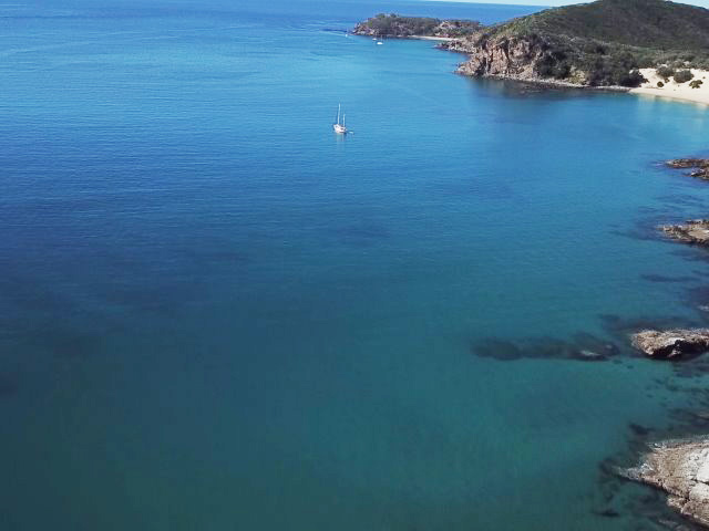
GPS: 20 15.486s 148 42.976e

Run: 32.1nm (58.1km)

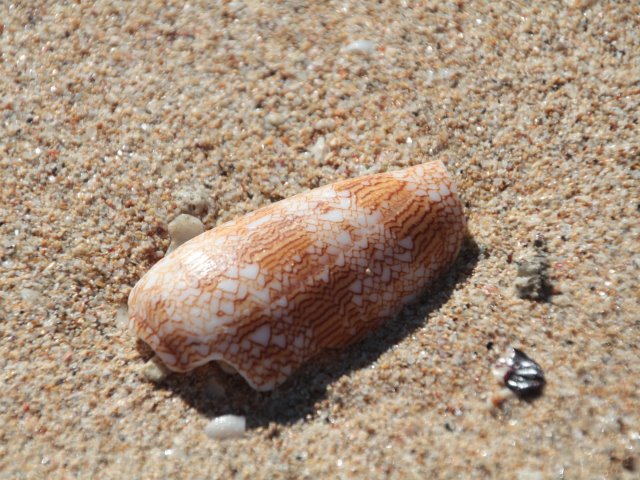
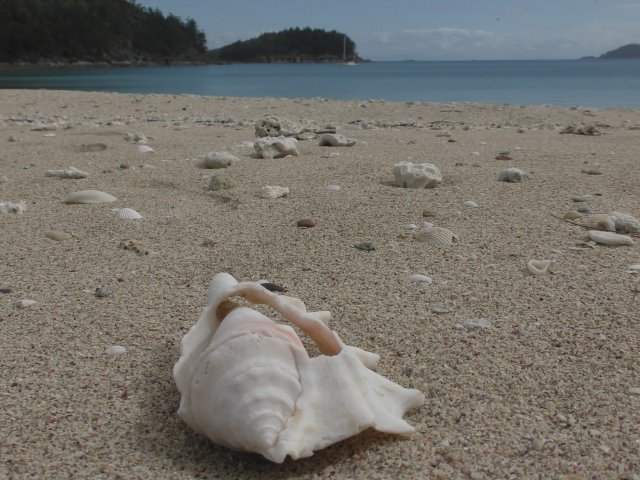
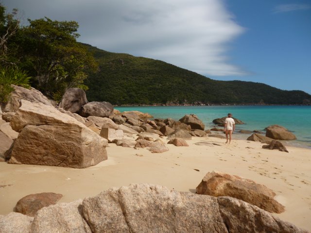
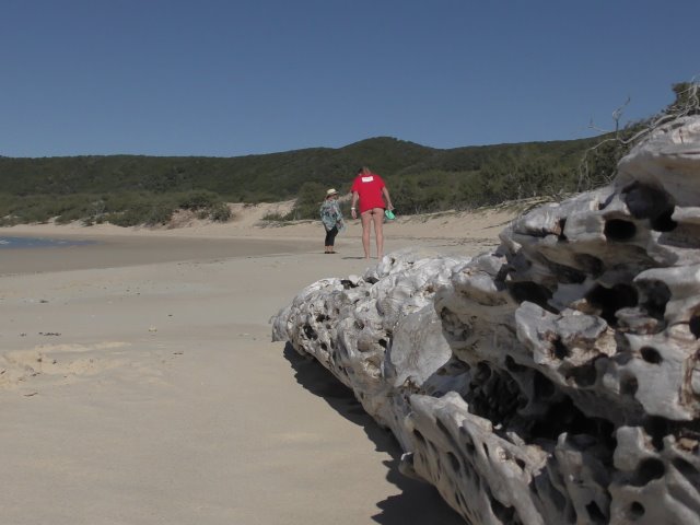
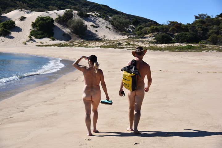
After spending a few days of exploring Thomas Island and spending time on Naked Lady Beach, sorry no photos (been censored by Sue).

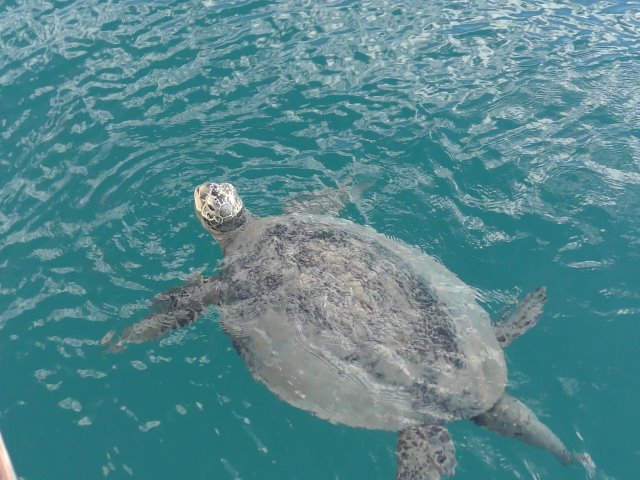
The tranquillity was interrupted last night by two Porpoises splashing around in the bay.

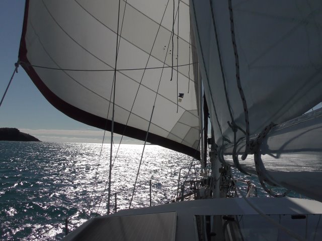
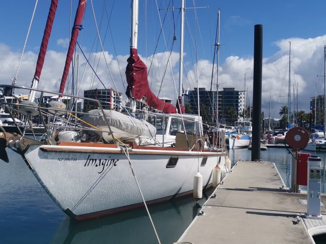
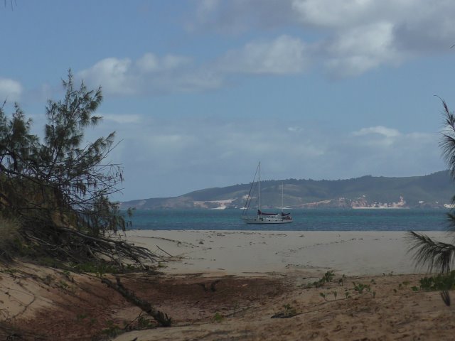
This morning we hauled anchor and sailed to Arlie Beach. While we were ashore checking out the town we posted a notice in 4 of the backpacker hostels, asking if anyone wants to crew for us as we will be sailing around here for a couple of months. There are a few tourists here (not nearly the amount they would normally have). Airlie Beach has a man-made lagoon (like the one in Cairns and the one in Brisbane) – we didn’t see too many sunbathers today – despite the weather being nice and sunny, there was a chill in the wind.

Making faces at Sue

GPS: 20 32.461s 149 06.567e

Run: 38.4nm (69.5km)

Late yesterday afternoon while we were writing emails we looked up to see a turtle peering in the porthole at us. Sue jumped up and started making faces through the porthole at it. Andrew grabbed the camera and headed on deck, to see a large turtle still looking at Sue. There seems to be two large and two smaller turtles living in this bay.

This morning we set sail for Thomas Island only a couple of hours away. The breeze was quite cool but died down as we got shelter in the bay at Thomas Island. Tomorrow we will go exploring and maybe stay a few days.

Who would want to do this?

GPS: 20 51.786s 149 35.599e

We can now understand why no-one wants to join us as crew. Uninhabited islands, beautiful coral and shells scatter the beaches, Turtles swim metres away from the boat, schools of fish get in the way while swimming and colourful sunsets. Who would want to spend weeks doing this??

The past couple of days we have been ashore and checked out a couple of the beaches here on Goldsmith Island. Had a couple of swims and just chilled out. Today our bay got very crowded as we had three motor boats from the mainland call in over the course of the day, which meant we only had half the beach to ourselves.

Whilst on the beach we had a chat to a couple from Mackay who had come out for the day with a couple of their grandkids who as they were beachcombing the island, didn’t really mind there was no reception for their mobile phones! There is a small campsite on this beach and a composting toilet, which even here there is a sign re Covid-19 warning to keep social distancing.

Keeping our perfect fishing record intact, we headed out this afternoon for a couple of hours for a spot of fishing. We did so enjoy feeding the fish but do wish sometimes something would jump on the line and stay there! Needless to say it was a good job we got some roo steaks out of the freezer for tea! This evening when checking the mooring a turtle surfaced only metres from the boat, lifting his head and giving us a couple of looks before he dived down deep again.

We made a run for it

GPS: 20 51.786s 149 35.599e

Monday the weather packed in and so we were confined to the boat, watching movies. Tuesday and Wednesday were the same. So it was quick dashes between Dalitu (Kirsty and David’s boat) and Imagine as rain stopped. We swapped DVD movies and tails of the sea and travels.

On Thursday we made a run for it. Four hours north and we were at Brampton Island. The resort on the island had been closed down, with only the caretaker left. The weather was still scattered showers, so we didn’t do any exploring. We discovered that we could get some internet reception on the tablet by taking the cell phone up the mast and using the hotspot function.

This morning we continued north and are now anchored at Goldsmith Island. It seems quite sheltered with lots of little bays and beaches. We were greeted by a large turtle that seemed to be interested in our anchor. Maybe we stirred something up. Again the phone went up the mast so we could send this blog.

Sue survived a shark attack

GPS: 20 51.786s 149 35.599e

Run: 29.3nm (53km)

Sue survived her shark attack! We left Mackay on Saturday with the wind off our beam. With only the head sail up we were doing about 7 knots all the way to Scawfell Island. It was a really nice sail with not much swell until a couple of hours out from the island. Saturday afternoon we just chilled out. During the night the wind got up and was tunneling down the valley. By morning there were white caps forming down the side of the bay we and three other boats were anchored in so we hauled anchor and moved to the western side of the bay.

Later that day we explored one of the beaches. Today after Andrew took a very short swim off the back of the boat (water a bit cool) we explored another beach.

That’s where it happened! Sue bravely ventured into the water at the beach for a quick swim. Knowing that there have been 3 shark attacks in Queensland waters (1200km of coast) in the past 12 months.

And sure enough she returned to the beach without a mark on her. Maybe sharks don’t attack everyone, or maybe they’re not as prevalent as Sue thought they were.

We met a couple (Kirsty and David) from one of the boats anchored near us who were walking along the beach. They invited us back to their boat for a coffee. After lunch we went to their boat and talked for hours about boats and boating. They then came to Imagine for Sundowners (drinks) as we talked more about boats and travelling. It’s always interesting to meet fellow boaties and share tips and stories.

Farewell to Karl & Robyn

GPS: 21 06.795s 149 13.591eRun: 84nm (152km)
Avg: 3.3knts
24hr: 80nm

Image Thursday 2nd July No not Thursday, Sadday. Today we bid farewell to Robyn and Karl.

After a gentle all night sail we arrived to Mackay. There were lots of cargo boats anchored outside the harbour. We phoned the marina and were told which berth we had been assigned. Luckily it was at the end of the pier, so all we had to do was turn Imagine around in the alleyway and glide up to the pier. Sorry. no mishaps. no over shooting the pier. No one fell overboard. Just a perfect docking.

Sue & Andrew booked in and checked out facilities at the marina, while Karl & Robyn went and hired a car. We then all went in to town to get groceries to restock the boat. When we got back to the marina it was Sundowner time so we had drinkies in the hotel room Robyn and Karl had booked for the night.

We said our goodbyes and bought burger and chips on the walk back to Imagine.

We have decided to stay in the marina Friday as well. Get the laundry done and a few bits and pieces.

More of South Percy

GPS: 21 43.734s 150 21.141e

After an uncomfortable night we decided that we would head for Mackay. Over breakfast we calculated how long it would take to get there. Then what time we needed to set off, to arrive during daylight. So we needed to set off at 4:00pm and sail overnight.

This meant we could explore more of the island. Arriving on the beach without a spill this time we headed inland. We came across a very rare tree.

Over the years I’ve only come across two other examples of this species of tree , I’m sure they must be on the endangered list. The shoetree is easily mistaken for the European sandalwood, see photo.

We also discovered what looked to be erosion in a gully. The slip had uncovered a red soil and colourful rocks. We walked across the hill to the other side of the island where we could see how sheltered our bay was from the South Easterlies. Returning to Imagine we stowed everything away for our voyage to Mackay.

South Percy Ilse

GPS: 21 43.734s 150 21.141eRun: 105.9nm (191.7km)

We arrived at South Percy Ilse last night, anchoring in the bay with 7 other boats. Although we were sheltered from the wind and swell, we had a small amount of rocking.

Karl and Robyn had said previously that they wanted to experience everything about boating life. This morning after breakfast we all piled in the dinghy and set off for shore. As we approached shore Andrew slowed the dinghy down to surf in on a wave. As everyone got ready to jump out upon reaching the beach, the balance of the dinghy altered and we slid down the wave side on.

Karl fell out of the high side, launching Andrew into the air and over the top of Sue and Robyn. With the girls on the lower side of the boat, sank even further into the water, which sent them backwards into the water. Being a RIB the dinghy didn’t tip over but did take on a large amount of water.

We picked ourselves up and dragged the boat ashore. Luckily the cameras and things were in waterproof bags. Still soaking wet we headed off to explore the island. We walked the beaches and came across another ship wreck in the sand. Back on board Imagine we all showered and relaxed the rest of the day. By evening the swell had started coming around the point which made it an uncomfortable night.

Great Keppel Island

GPS: 23 09.246S 150 57.744E

Friday 26th June Yesterday we all piled into the dinghy and headed around the west side of Great Keppel island. We found the large bay (ship wreck bay) we had sailed past on the way to our anchorage. A beautiful bay but not as sheltered as our anchorage. In the sand at high water mark we found parts of a ship wreck including the pins used to hold the timber boat together.

Returning to Imagine Sue decided to fish off the boat. She surprised us all by catching two Shark Sucker Fish about 450mm long. Not good eating but good bait for later.

Today we explored the eastern bays. One of which had a small river inlet with two boats tied up in the mangroves, as if they were there ready for a cyclone. We also took a look at where the resort was.

After lunch we were met by Eileen, Mark, Alby and Helen from Black Diamond.

They had had a problem with a gearbox on one motor. Luckily we had some parts to help fix the problem. After the repair we all enjoyed drinks and nibblies on their back deck as the sun went down.

Unfortunately when it came to head back to Imagine, Sue, Andrew, Karl and Robyn piled into the dinghy, but the outboard motor wouldn’t start. So out came the oars. Karl and Robyn rowed us back to Imagine.

Tomorrow both boats will head off to Pearl Bay.

We arrived at Great Keppel

GPS: 23 09.246S 150 57.744ERun: 105.1nm (190.2km)

On Tuesday morning, we awoke to 20 to 25 knot winds and a choppy sea. We intended to stay another day at Lady Musgrave, but with the high winds we decided to go. By 10am we had set off back through the narrow channel and off to Great Keppel Island. Just as we had cleared the atoll, we spied a set of sails. We called on the radio and yes it was Black Diamond ( Eileen & Mark’s Cat). so we missed catching up with them there. We will try to meet them at Great Keppel or some other point in their journey up north.

The day’s sail started with nice high winds behind us but after lunch slowly died to only 3 knots so we had to motor for a while. During the night the wind came back and we were able to continue sailing. A first for Sue, she got seasick so the evening shifts were divided between Andrew, Robyn and Karl. During the night we had to cross a shipping channel and as luck would have it we had to negotiate around three cargo boats, one of which passed only 100 metres from us and we could easily see the windows on the bridge! We arrived at Great Keppel at dawn and found an anchorage on the north side.

Whilst Sue was still recovering, Andrew, Robyn and Karl went ashore to do a little exploring. The rest of the day we relaxed on board.